A map of the United States of Mexico : as organized and defined by the several acts of the congress of that republic, 1846
Maps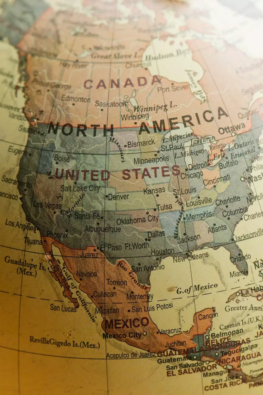
Introduction
Welcome to Cherry Berry Emporium/Pineapple Parade, your premier destination for unique and historical artifacts. In this page, we are excited to present the exceptional vintage map titled 'A map of the United States of Mexico: as organized and defined by the several acts of the congress of that republic, 1846.' This meticulously crafted map encapsulates the essence of Mexico's territorial organization during that era.
History of the Map
The map, created by the renowned cartographer Henry Schenck Tanner, offers a fascinating glimpse into the United States of Mexico as it existed in 1846. Tanner, widely recognized for his cartographic expertise, skillfully captured the intricate details of the country's borders, regions, and defining features. This map serves as a valuable historical artifact, shedding light on the complexity and diversity of the Mexican landscape during that time.
Exploring Mexico's Territorial Organization
With our vintage map 'A map of the United States of Mexico: as organized and defined by the several acts of the congress of that republic, 1846,' you can embark on a captivating journey through Mexico's diverse regions, states, and territories. Tanner's careful cartographic work presents an opportunity to delve into the political and geographical nuances of this vibrant country.
Detailed Depiction
Our map offers an exquisitely detailed depiction of the United States of Mexico, showcasing the various states, their boundaries, and major cities within. Each detail was meticulously hand-drawn by Tanner, ensuring a high level of accuracy in representing Mexico's topography and administrative divisions during the mid-19th century.
Discover Mexico's Regions
Delve into the richness of Mexico's regions as you explore this map. From the rugged terrain of the Sierra Madre Occidental to the expansive plains of the Yucatán Peninsula, each region showcases its distinct characteristics and significance within the country's history. Understand how these regions shaped Mexico's cultural, economic, and political landscape during that time.
Comprehensive Cartographic Insights
Our vintage map provides comprehensive cartographic insights into Mexico's territorial organization. Gain knowledge about the regions that comprised the country, their respective capitals, and the borders that defined their boundaries. The detailed annotations and legends on the map offer further context and understanding of Mexico's political and geographical framework at the time.
Preserving Historical Legacies
At Cherry Berry Emporium/Pineapple Parade, we are dedicated to preserving historical legacies through our curated collection of artifacts, including this extraordinary vintage map. By owning a piece of history such as 'A map of the United States of Mexico: as organized and defined by the several acts of the congress of that republic, 1846,' you contribute to the safeguarding of historical knowledge for future generations.
In Conclusion
Visit Cherry Berry Emporium/Pineapple Parade to explore and acquire the iconic vintage map 'A map of the United States of Mexico: as organized and defined by the several acts of the congress of that republic, 1846.' Immerse yourself in the rich historical context, unrivaled cartographic precision, and fascinating details that this map offers. Own a piece of history and embark on an exploration of Mexico's territorial organization like never before.